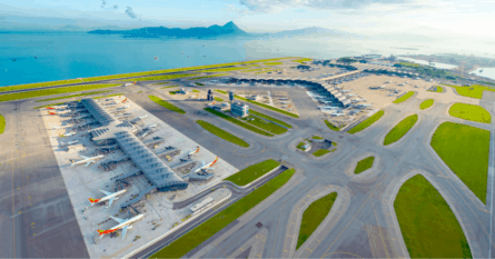
Dreading your upcoming flight? Consider the same route 1800 years ago, where your only options for travel were by foot, horse, or oxcart.
When most of us plan for a holiday, we often go through travel comparison websites, Google the places we want to visit, and maybe read some reviews. We often take for granted the ease with which we can travel, with planes, cars, buses, and trains all offering myriad ways to get out and explore the world.
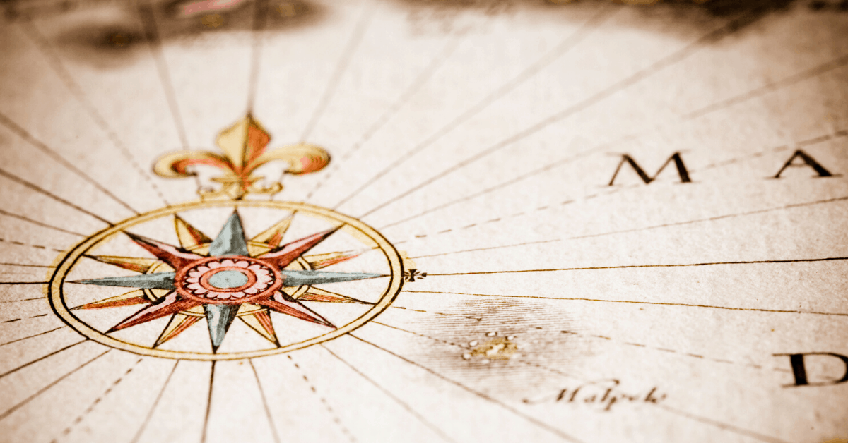
Ever wondered what the same travel would have been like before the invention of these modes of transportation? Stanford University professors have you covered. Earlier this year they designed an interactive tool that offers a stark contrast between travel today and 1800 years ago. Coined ‘ORBIS’ by its creators Walter Scheidel and Elijah Meeks, the tool works much like Google Maps but for the ancient world, allowing users filters and search functions to calculate the journey between different Roman cities, using ancient roads, shipping routes, and various modes of transport, as available in the year 200 C.E.
Let’s consider a hypothetical journey between the cities of Venice and Naples for an ancient Roman traveler, who we’ll name Atticus. By simply clicking a few buttons and checking a few boxes, you can discover the most affordable way for Atticus to make his journey to Naples, the fastest route available to him, as well as the cost incurred if he wishes to travel with a few extra suitcases (or bags of grain).
Pretty cool huh?
While the ORBIS tool gives us an insight into ancient worlds, it’s very much a product of the technological age. By combining traditional scholarly research and mapping with modern web technologies, ORBIS creators have managed to present a massive amount of information in an interactive and truly fascinating way.
We’ve taken a few of today’s well-traveled routes and plugged them into ORBIS to discover how the journey would have been undertaken during Roman times. If you think four hours on-board an economy flight is hard-going, then these estimates might just help to recalibrate your point of view.
London (Londinium), UK, to Paris (Lutetia), France
London and Paris are two of Europe’s most famous capital cities and these days traveling between the two is a breeze. Whether you’re flying or taking the Eurostar train, both options are fast, convenient, and affordable.
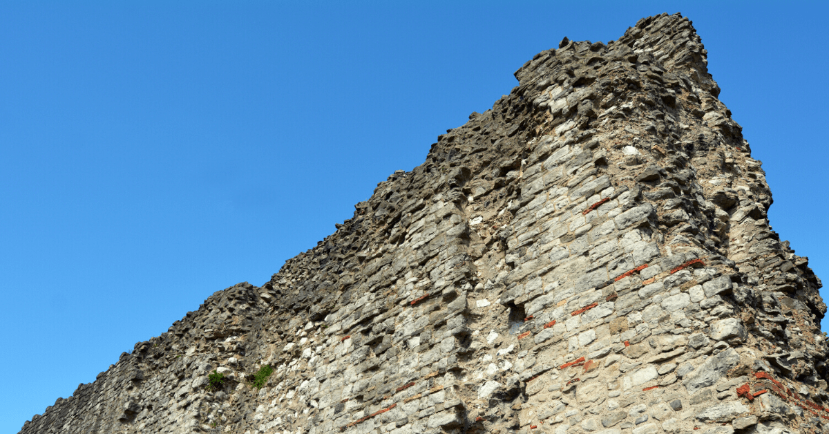
Let’s rewind 1800 years when the same journey would have seen you traveling between the Roman cities of Londinium (London) and Lutetia (Paris). In 200 C.E., Lutetia was a small but important center of Roman trade, thanks to its proximity to the River Seine, while Londinium was just one square mile in size, enclosed by a protective stone wall that can still be visited today.
In Roman times, there was no such thing as a weekend city break in Paris. Even If you were lucky enough to travel by the fastest mode of transport available, which was a combination of horseback and fast sea ship, the 512-kilometer (320-mile) journey between the two cities took a lengthy 4.6 days.
- London to Paris in 2019 – 2 hours 15 mins by Eurostar.
- Londinium to Lutetia in 200 C.E. – 4.6 days on horseback and by fast sea ship.
York (Eburacum), UK, to Malaga (Malaca), Spain
The sun-drenched South of Spain is a popular destination today for British holidaymakers, prized for its gorgeous beaches, tasty tapas, and laid-back attitude. A quick search on any flight booking app will reveal an abundance of affordable fares from British cities to the resort town of Malaga, on the Spanish Costa del Sol.
Back in 200 C.E., Malaga, then known as Malaca, was a recently conquered addition to the Roman Empire, for whom the region’s supply of silver, copper, and seafood were a valuable asset. Evidence of Roman rule is evident throughout modern-day Malaga, including an impressive, and well-preserved first-century theater.
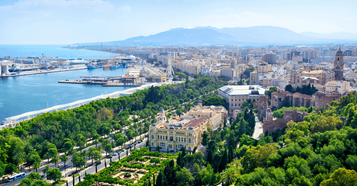
Traveling between the Ebarucum (modern-day York) and Malaca was a serious undertaking for Roman citizens, as the journey took 32.7 days traveling in a shared carriage, and crossing the English Channel by fast sea ship. It’s hard to imagine any modern holidaymaker, no matter how sun-starved, signing up for such an arduous journey.
- York to Malaga in 2019 – 3 hours 5 minutes by plane.
- Eburacum to Malaca in 200 C.E. – 32.7 days by shared carriage and fast sea ship.
Bonn (Bonna) to Cologne (Ara Agrippinensium), Germany
Bonn, the former capital of West Germany and Cologne, Germany’s fourth-largest city, are located just 27 kilometers (16.7 miles) apart. This proximity makes commuting between the two cities popular, as the journey takes just 35 minutes by car or 20 minutes by high-speed train.

Situated upon the Rhine, the cities of Bonna and Ara Agrippinensium, as they were known in 200 C.E., formed an important regional capital for the Roman Empire. The area still boasts a number of carefully-preserved sites, including city fortifications, burial chambers, as well as the excavated residence of a Roman governor.
For your average Roman business traveler, perhaps a merchant salesperson in an oxcart laden with goods, the journey between Bonna and Ara Agrippinensium would have taken just over 2 days.
- Bonn to Cologne in 2019 – 20 minutes by high-speed train.
- Bonna to Ara Agrippinensium in 200 C.E. – 2.1 days by oxcart.
Geneva (Genava), Switzerland, to Istanbul (Constantinople), Turkey
Flying between the Swiss financial capital of Geneva and the Eastern mega-metropolis of Istanbul, you’ll be treated to a birds-eye view of both the Adriatic and Aegean Seas, rugged mountain ranges, lakes, and forests. It’s really quite remarkable that we, as modern travelers, can transit between two cities separated by such varied terrain in just three short hours by plane.
During the late Roman era, these two cities were worlds apart, both in distance and significance. Istanbul, known as Constantinople, was the Empire’s rich and wondrous capital city with a Roman legacy that can be explored by history buffs today. Geneva, then known as Genava, was a small fortified border town and a recently conquered addition to the Roman Empire.
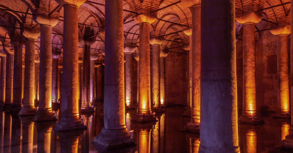
In 200 C.E., the most efficient way for Roman travelers to reach Constantinople from Genava was via a lengthy sea voyage. After reaching the south of France by land, travelers would board a ship and sail down the Italian coast and through the Adriatic into the Gulf of Corinth. After a quick stop in Athens, the voyage would continue through the Aegean Sea and on to Constantinople. The journey would take more 33 days in total, 24 of which were spent at sea.
- Geneva to Istanbul in 2019 – three hours by plane.
- Genava to Constantinople in 200 C.E. – 33.5 days by private carriage, and fast sea ship.

Grace Catherine
Grace is a freelance writer and digital project manager from New Zealand currently based in Mexico City. She is an avid traveler who loves destinations with an eclectic history, a bike-sharing scheme, and plenty of cool animals.